About Wayfinder Maps
Wayfinder Maps was created for people who want to understand where they are, not just follow instructions. In a world driven by turn by turn directions, we believe there is still value in unfolding a map, seeing the full picture, and choosing your own route.
How Wayfinder Began
Wayfinder Maps began with a simple realization. We were getting where we needed to go, but we were no longer paying attention to how we got there.
Turn by turn directions made travel efficient, but they also narrowed our focus. We stopped seeing the landscape. We stopped noticing alternate roads, nearby towns, elevation, and possibility. Navigation became automatic.
We created Wayfinder Maps to bring back awareness. Not to replace technology, but to slow things down. To unfold the terrain in front of you. To make room for detours, curiosity, and decision making.
A map should not just tell you where to turn.
It should help you understand where you are.
A History of getting lost
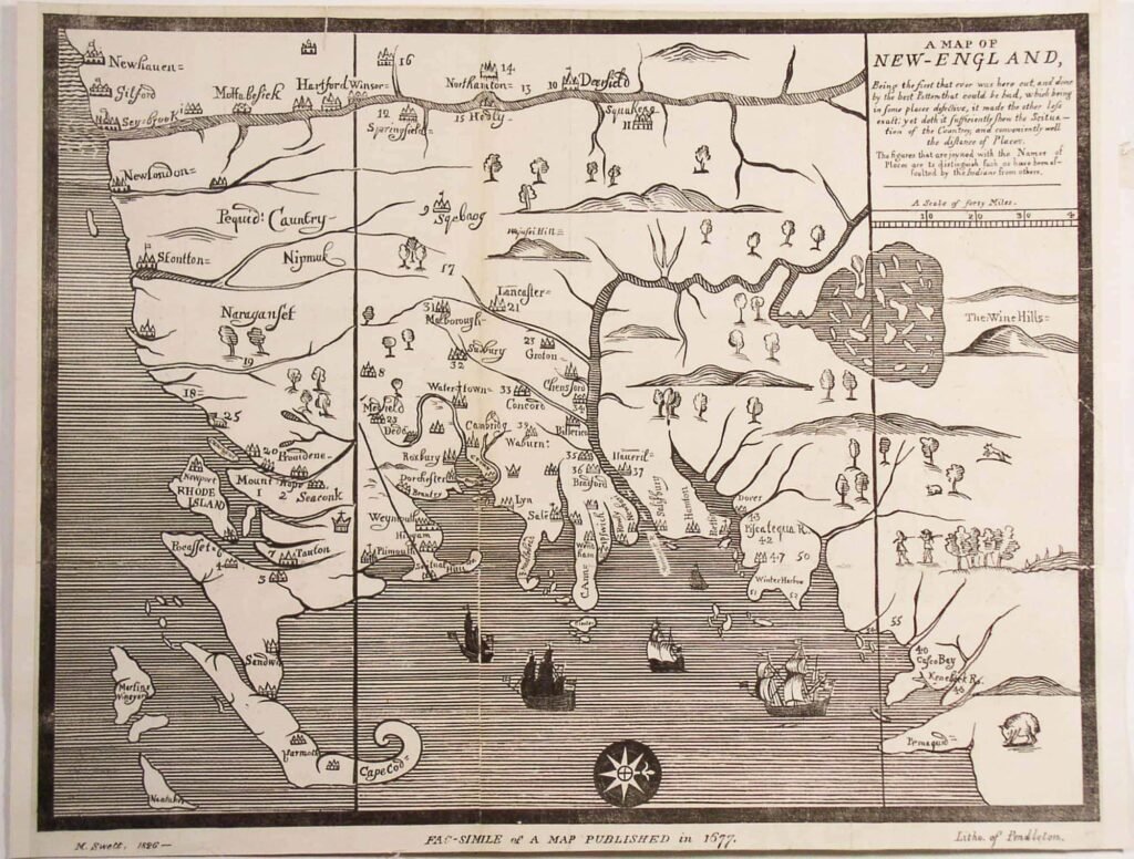
Paper maps have guided explorers for centuries. Early navigators relied on hand drawn charts to cross oceans, map trade routes, and chart unknown territory. By the fifteenth century, printed maps began appearing across Europe, allowing people to understand geography beyond their immediate surroundings.
In the twentieth century, road maps became essential for travel. Before GPS, families planned routes across entire countries using fold out atlases. Detours were discovered by accident. Small towns were found because someone noticed a road that looked interesting. Maps were not just tools. They were invitations.
Why We Still Believe in Paper
The Full Picture
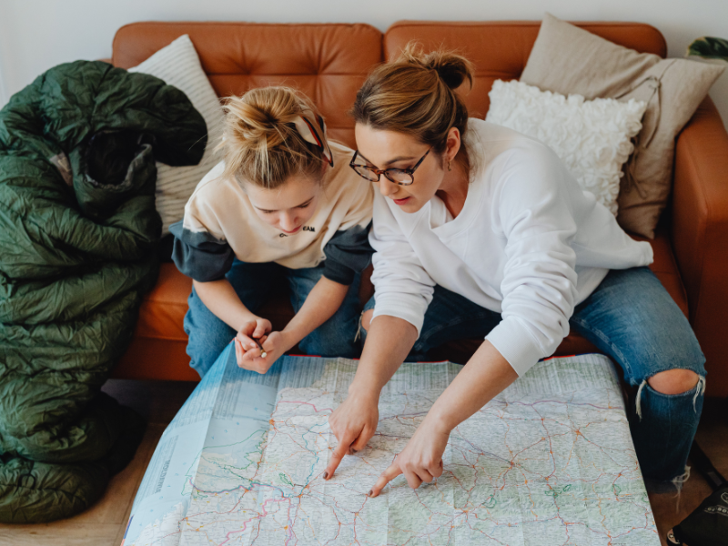
Digital navigation narrows your focus to the next instruction. A paper map shows the entire landscape at once. You see alternate routes, nearby towns, rivers, elevation, and possibilities you would never search for.
Memory and Meaning
Studies on spatial awareness show that physically interacting with a map improves memory and understanding of place. Marking a route, folding the page, and tracing a path builds connection in a way that tapping a screen does not.
Freedom From Signal
Paper maps do not depend on battery life, roaming charges, or reception. They work in forests, mountains, rural highways, and anywhere else curiosity takes you.
How we design our maps
Every Wayfinder map is designed for clarity first. We prioritize readable typography, simplified landmark labeling, and intuitive colour systems. Each edition is printed on durable stock that can be folded and unfolded repeatedly without tearing.
We also leave room for the traveler. Our maps are meant to be written on. Circle a destination. Mark a coffee stop. Highlight a trail. The map becomes part of your story.
Built for the curious
Wayfinder Maps exists for people who believe the journey matters as much as the destination. We are not anti technology. We are pro exploration. Sometimes the best way forward is to slow down, look at the whole map, and choose your own direction.